
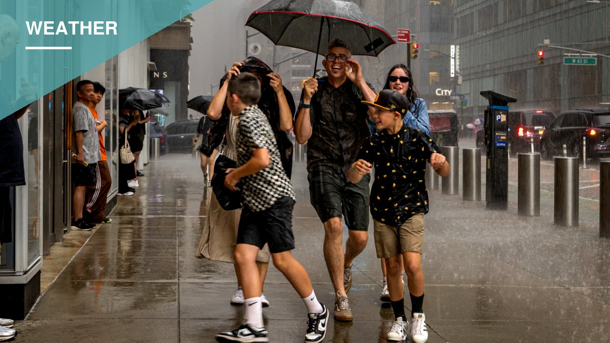
A nor’easter expected to pound the East Coast this weekend will largely spare New York City itself, meteorologists say, though the storm’s fringe effects will still bring flooding risk to Staten Island, Long Island and coastal New Jersey, with the heaviest rain and wind aimed at eastern Long Island, the Jersey Shore and the New England coast.
AccuWeather’s Carl Erickson told The Post the core of the storm will move into the metropolitan area Friday into Saturday, with most of the rain falling east of the five boroughs and hitting hardest in Suffolk County. Wind gusts topping 50 mph are expected along the hardest-hit stretches of coastline.
“Minor to moderate coastal flooding can occur, worst on Friday and Saturday, driven by sustained onshore winds combined with this Saturday’s full moon, which will push tides higher than normal,” Erickson said.
“Some of the most flood-prone waterfront locations could see brief, minor flooding as early as this evening’s high tide, Staten Island is specifically prone to this, along with Long Island.”
Tide levels across Staten Island and Long Island are forecast to run 1-2 feet above average, and dangerous rip currents are expected at ocean beaches throughout the weekend. Widespread rainfall of 1-2 inches is expected from southeastern New York through eastern New England, including Boston, according to AccuWeather Local StormMax, with the strongest wind gusts hitting those same areas.
Erickson said major urban flooding is not expected, but residents in vulnerable waterfront areas should prepare for minor to moderate coastal flooding around high tides over the weekend. Conditions should gradually improve by Sunday and Monday.
What Residents Should Do
Erickson advised securing or removing loose outdoor items — furniture, trash cans, decorations — before Friday. He also urged residents to avoid unnecessary travel to waterfront areas, particularly Staten Island’s South Shore and the North Shore of Long Island, during high tide, warning of coastal flooding on north-facing shores and the possibility of localized power outages.
“Expect a wet, blustery Saturday, with conditions improving by Monday,” Erickson said.
New England Braces for Heavier Rain
Farther north, the storm is expected to be far more severe. More than a foot of rain is forecast for parts of New England, including Boston and Cape Cod, with some locations expected to receive as much as 200% of their average rainfall.
The system’s slow track over the warm waters of the Gulf Stream, which runs from the Gulf of Mexico through the Straits of Florida, is giving it unusual characteristics. “Given that the developing nor’easter will be slowly moving over the very warm water of the Gulf Stream for two or three days, the storm may take on some characteristics that would resemble a tropical storm,” said AccuWeather chief meteorologist Jonathan Porter. “Such hybrid storms are called subtropical storms. If that occurs, the storm could be assigned a name by the National Hurricane Center.”