
Summary: A sanctioned tanker grounded off Oman has reportedly leaked crude oil, with satellite imagery indicating spreading slicks near a marine protected area, raising urgent environmental concerns and questions about monitoring, cleanup, and international response.
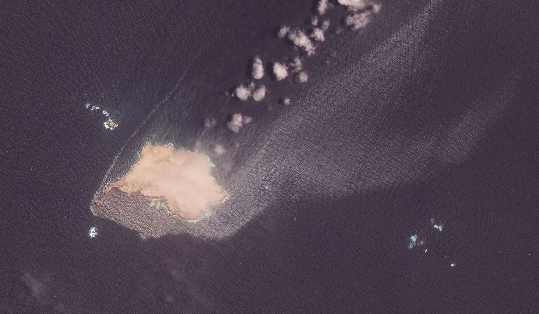
Crude oil appeared to be leaking and spreading in recent days from a sanctioned tanker grounded off the coast of Oman, close to a marine protected area, satellite images reviewed by The Associated Pre
Those images show dark streaks and patches extending from the tanker’s location, suggesting oil is moving with currents and wind. Observers note the pattern is consistent with a slow but ongoing release rather than a single, isolated spill. The proximity to protected waters amplifies concern because even small amounts of crude can harm sensitive habitats.
Officials and local authorities will face tough choices on containment, and the timeline for action matters a great deal when oil is already moving away from the wreck. Mechanical recovery, dispersants, and shoreline protection are typical tools, but each comes with trade-offs for marine life and coastal communities. The logistical challenge grows when a vessel is under sanctions, complicating who coordinates and who responds.
Marine protected areas often shelter breeding grounds, coral formations, and migratory species, and even brief exposure to oil can disrupt those systems. Fish, seabirds, and invertebrates can be affected directly by oil contamination or indirectly through damage to their food webs. Local fishermen and coastal economies may experience immediate losses, with longer-term ecological impacts that can be harder to measure.
Assessing the full extent of damage depends on repeated satellite passes, aerial surveys, and on-the-water sampling to confirm what’s visible from orbit. Remote sensing is invaluable for tracking slick movement and prioritizing response zones, but it cannot replace water and tissue testing for toxicity. Independent monitoring groups and regional bodies often play key roles in verifying conditions when access to the incident site is restricted.
Sanctions add a diplomatic layer to an already urgent environmental problem, influencing who may board the ship, who provides cleanup assets, and which contractors will be used. Liability and compensation pathways can be unclear or delayed when ownership and operational control are contested. That complicates rapid mobilization of heavy equipment and trained crews needed to limit shoreline contamination.
Containment booms and skimmers can limit spread in calmer seas, while booms require fast deployment and skimmers need favorable sea states to work effectively. Dispersants break oil into smaller droplets and can reduce shoreline impact, but they also move contaminants into the water column, posing a different set of risks. Decision-makers must weigh immediate shoreline protection against potential long-term harm to subsurface life.
Transparent reporting and clear coordination help protect both ecosystems and public trust during a maritime incident, especially where international sanctions and commercial interests intersect. Accurate, timely information allows coastal communities and industries to take precautions and seek remediation where needed. Monitoring will continue, and the situation will evolve as weather, currents, and response efforts change the distribution of oil.