
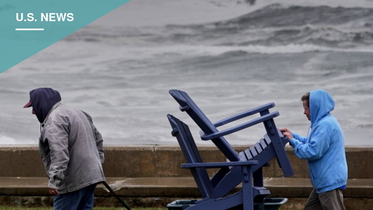
A powerful nor’easter is battering the East Coast this weekend, bringing heavy rain, high winds, rip currents and what forecasters call “dangerous” coastal flooding to millions of residents across the Northeast and Mid-Atlantic.
New Jersey, New York, Rhode Island and Maryland are all being affected by the storm. Video circulating on social media shows standing storm surges in New Jersey, which is bearing the brunt of the impact. States of emergency have been declared in parts of New Jersey and New York, including New York City, Long Island, Nassau County, Suffolk County and Westchester County, with tens of thousands of residents already without power.
“I’m declaring a State of Emergency for Nassau, Suffolk, New York City and Westchester as this powerful coastal storm bears down on the region,” New York Gov. Kathy Hochul said Friday. “We’re expecting dangerous coastal flooding, strong winds and potential power outages through the weekend. Take this storm seriously. Stay alert, avoid unnecessary travel, and text 333-111 for realtime updates.”
The National Weather Service said the storm is not expected to weaken until Sunday night. The system is rapidly intensifying off the Mid-Atlantic coast and will approach New Jersey’s shore Saturday night and Sunday before moving northeast on Monday.
Coastal flooding, high winds expected through the weekend
The NWS warned that major coastal flooding is likely along the Mid-Atlantic coast across multiple high tide cycles this weekend, with widespread major flooding already expected by Saturday morning’s high tide. Officials urged residents to prepare immediately for significant inundation in low-lying shore areas, including flooded roads and damage to homes and businesses.
Large breaking waves are expected to produce strong rip currents, beach erosion, road closures and property damage from the Carolinas through the Mid-Atlantic and into Southern New England through Monday. Wind gusts of 45 to 65 mph are forecast for eastern Long Island and southeastern New England, raising the risk of power outages and downed trees.
Heavy rain is also expected to stretch from northern New Jersey down through southern New England, prompting the Weather Prediction Center to issue a Slight Risk, or level 2 of 4, for excessive rainfall through Sunday night.
“The associated heavy rain will create mainly localized flash flooding, with urban areas, roads, small streams, narrow canyons/gullies, and burn scars most vulnerable,” the NWS said.
Residents in affected areas are advised to avoid unnecessary travel and stay alert for updates as the storm continues to move through the region.